More than six months into Israel’s invasion of Gaza, the Strip’s ability to produce food and clean water has been severely hampered.
Israeli airstrikes and bulldozers have razed farms and orchards. Crops abandoned by farmers seeking safety in southern Gaza have withered, and cattle have been left to die.
Ashraf Omar Alakhras had a family farm in Beit Lahia, in northern Gaza near the border with Israel. In late January, he said, Israeli bulldozers plowed it under, along with his greenhouses and solar energy projects, to clear space for a militarized buffer zone.


“We worked on our large farm that we inherited from our ancestors,” he told The Washington Post, sharing photos and videos of a life that is now gone. “We grew oranges, lemons, potatoes, eggplant, tomatoes and cucumbers.”
The fate of Alakhras’s farm has become the story of agriculture in Gaza.
A Post analysis of agricultural data, satellite imagery and interviews with experts and Palestinians in the Strip reveals how an already vulnerable agricultural system is on the brink of collapse.
Asked for comment on the level of destruction in Gaza’s agricultural sector, the Israel Defense Forces said, “Hamas and other terror organizations unlawfully embed their military assets in densely populated civilian areas.” The IDF added that its actions are “based on military necessity and in accordance [with] international law.”
TKTK
Even before the war, most of Gaza’s fruits and vegetables were imported into the enclave. Gaza’s ability to feed its people has been limited for nearly two decades because of a punishing blockade by Israel and Egypt, which was put in place after Hamas seized power in 2007. Israel controlled all but one border crossing; limited electricity and water supplies; barred access to deeper fishing waters offshore; and restricted the import and export of goods.
As a result, agriculture and fishing were often small-scale but essential undertakings. Gazans farmed and fished where they could, building greenhouses on rooftops, harvesting rainwater for irrigation and jury-rigging boats to run on cooking oil or car engines. Small olive groves and fruit trees dotted the landscape.

Local produce — tomatoes, cucumbers, eggplants, herbs, and red and green chile peppers — went to markets or directly to kitchen tables. Households relied on local production for more than 40 percent of their fruits and vegetables as of 2022, according to the Palestinian Central Bureau of Statistics.
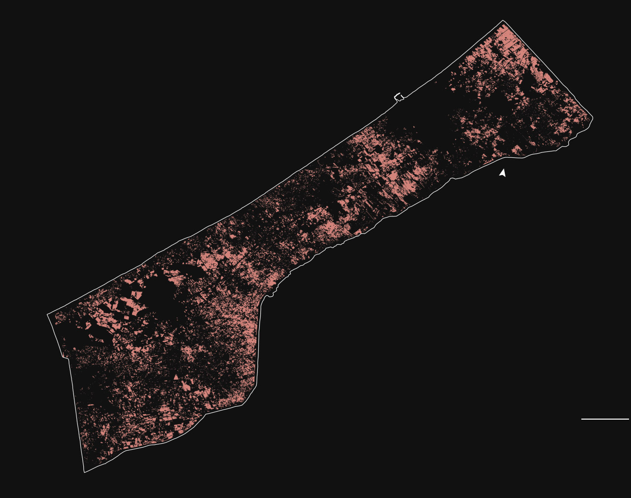
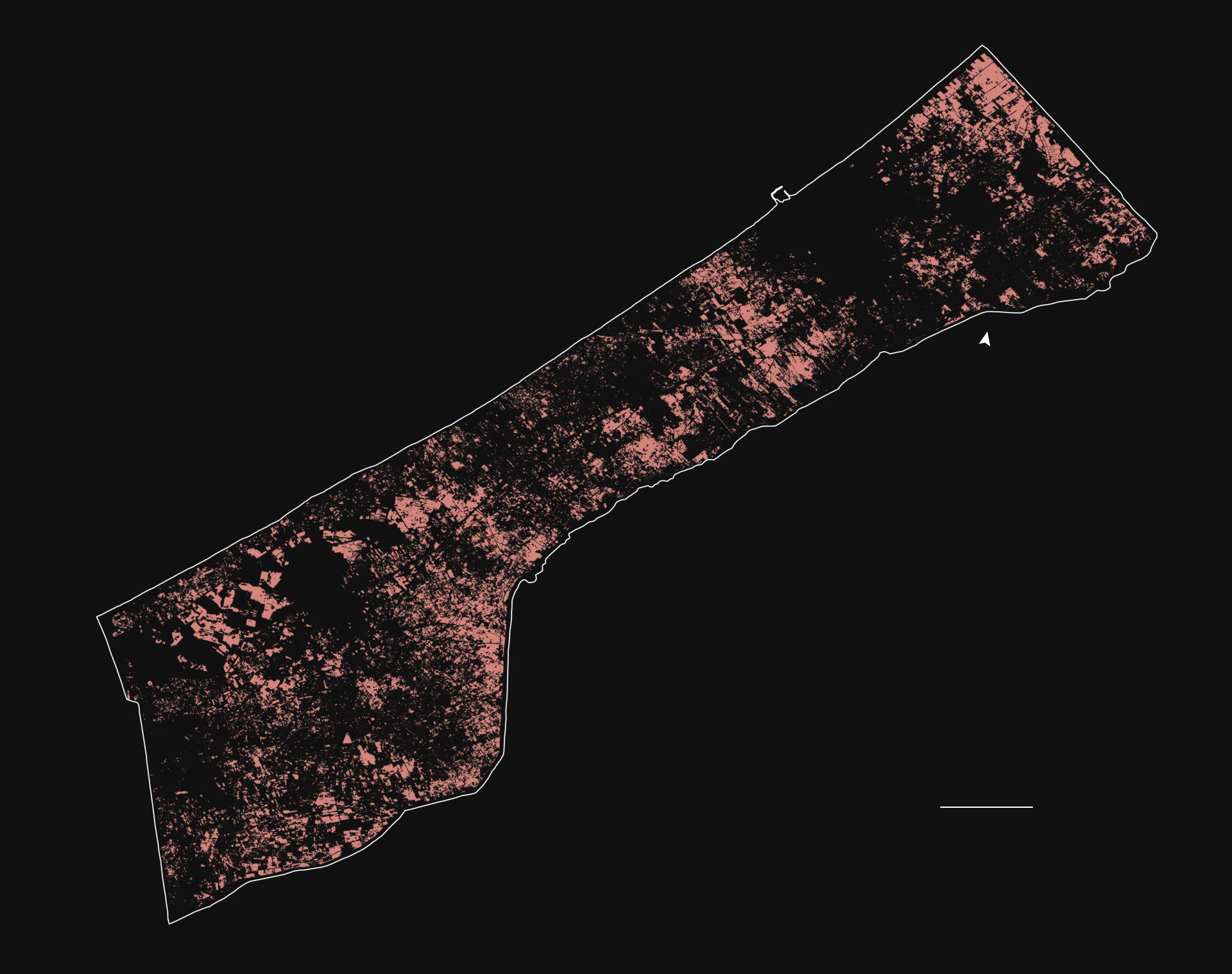
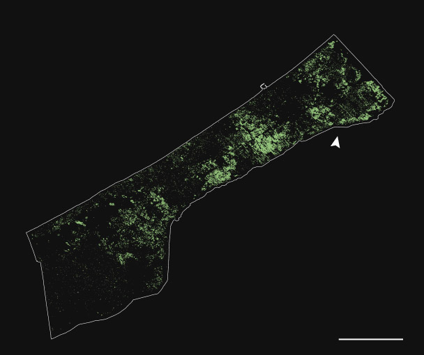
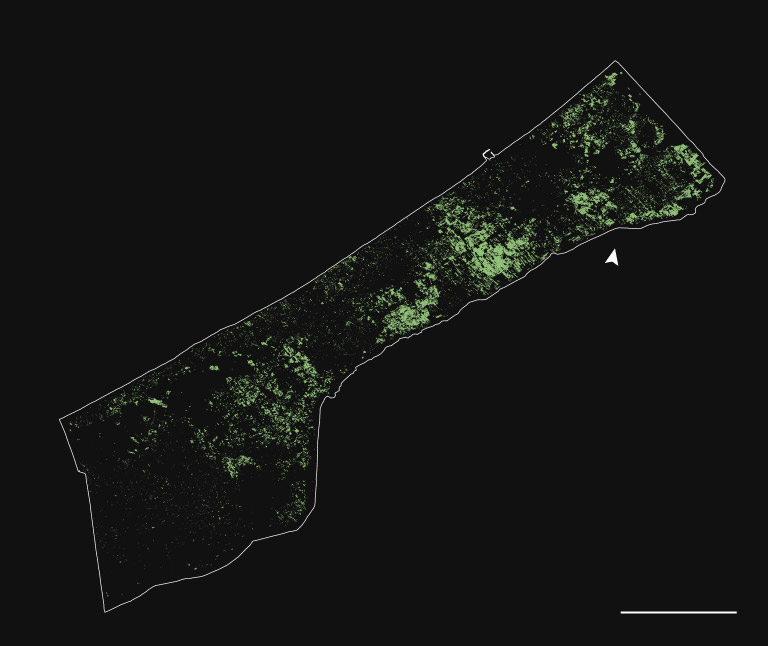
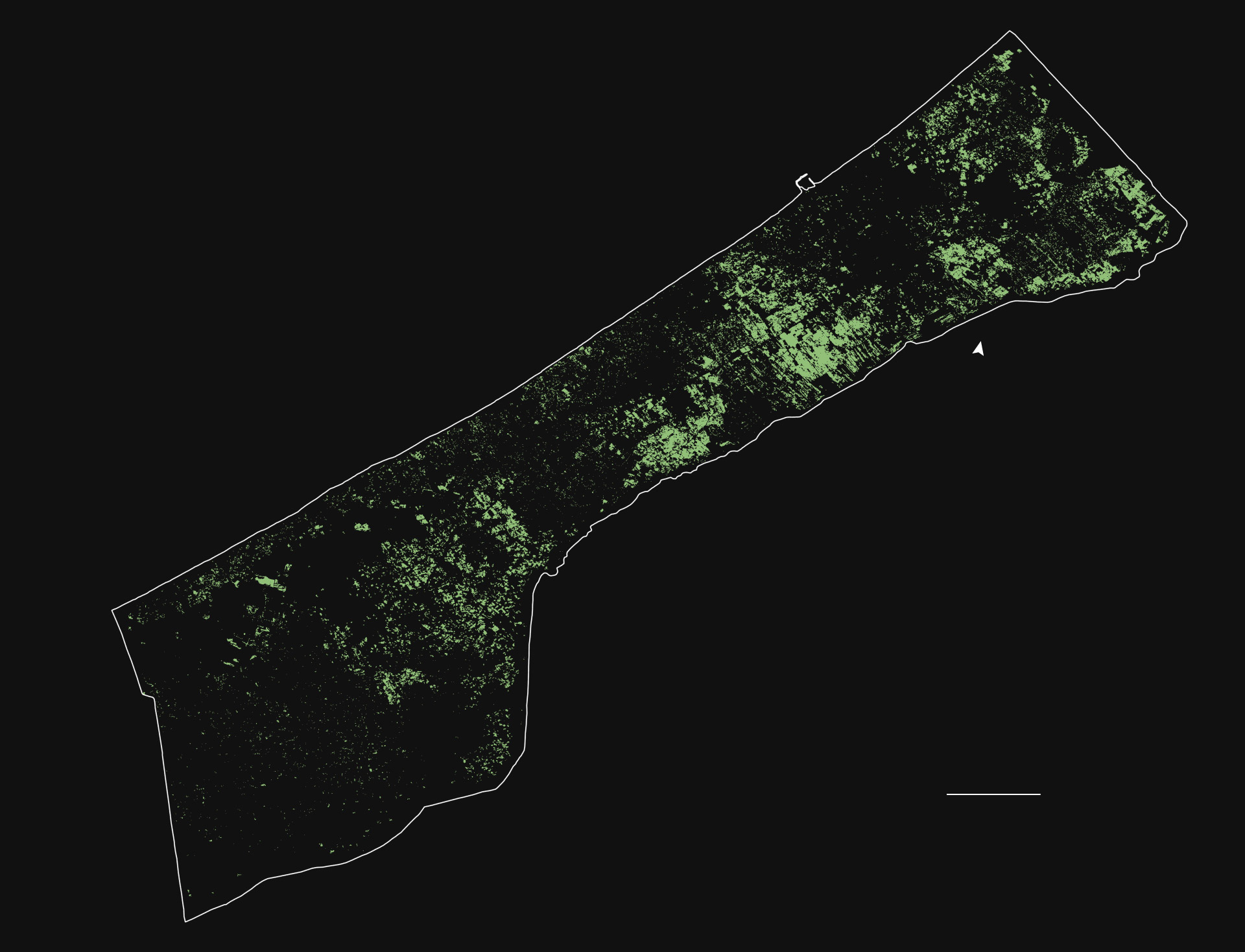
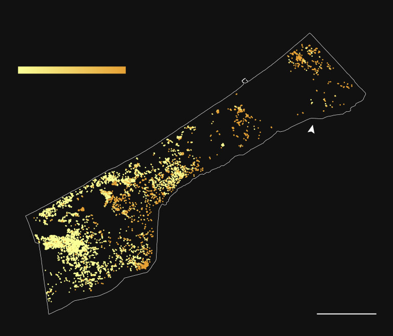
Agriculture accounted for nearly half of Gaza’s total land area before the war, according to UNOSAT, the United Nations’ satellite center; 45 percent of that agricultural land has now been damaged.
UN agricultural damage analysis
Damaged agricultural land
Under international humanitarian law, civilians caught in conflict cannot be denied access to food or water by warring parties, legal experts said. This also extends to targeting food infrastructure.
“With very narrow exceptions, it’s prohibited to attack, destroy, remove or render useless those objects,” said Tom Dannenbaum, an associate professor of international law at the Fletcher School of Law and Diplomacy at Tufts University.
Dannenbaum added that when civilians face starvation, water and food infrastructure — such as irrigation works and agricultural fields — they don’t lose their protected status just because combatants conduct operations from within a civilian population.
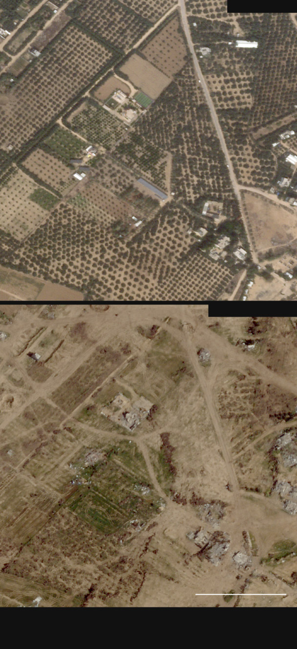
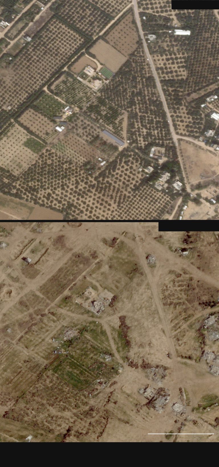
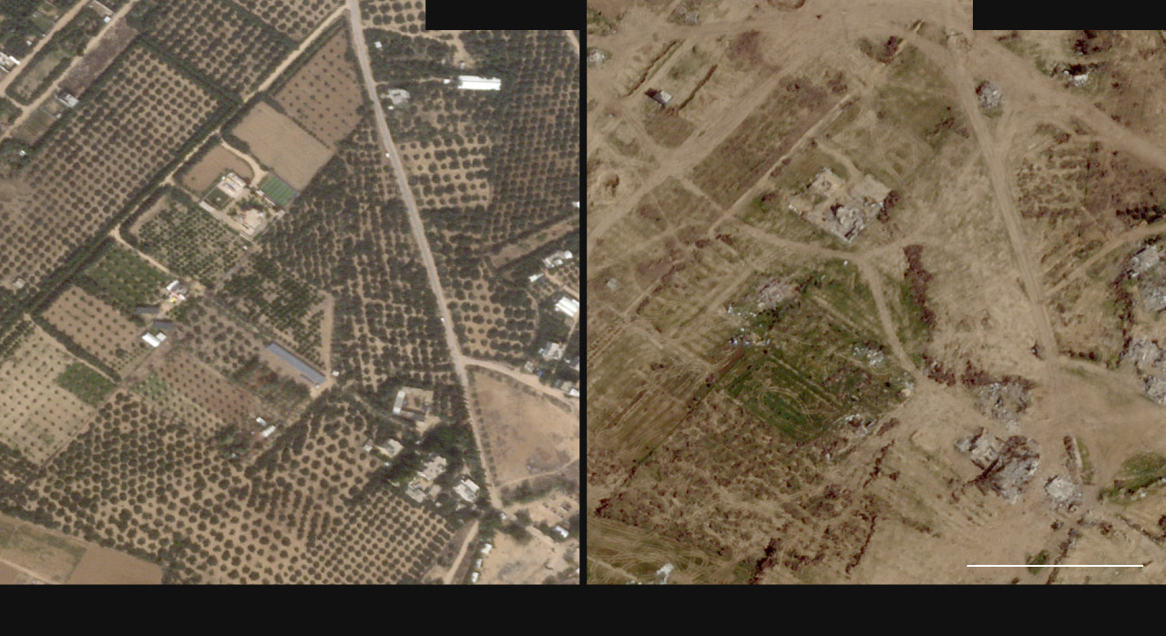
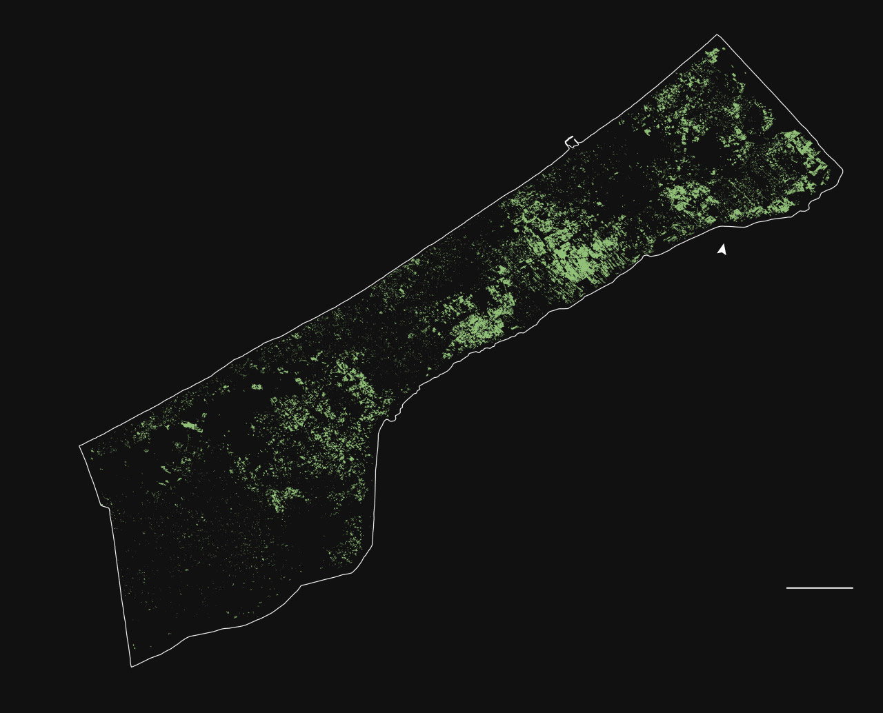
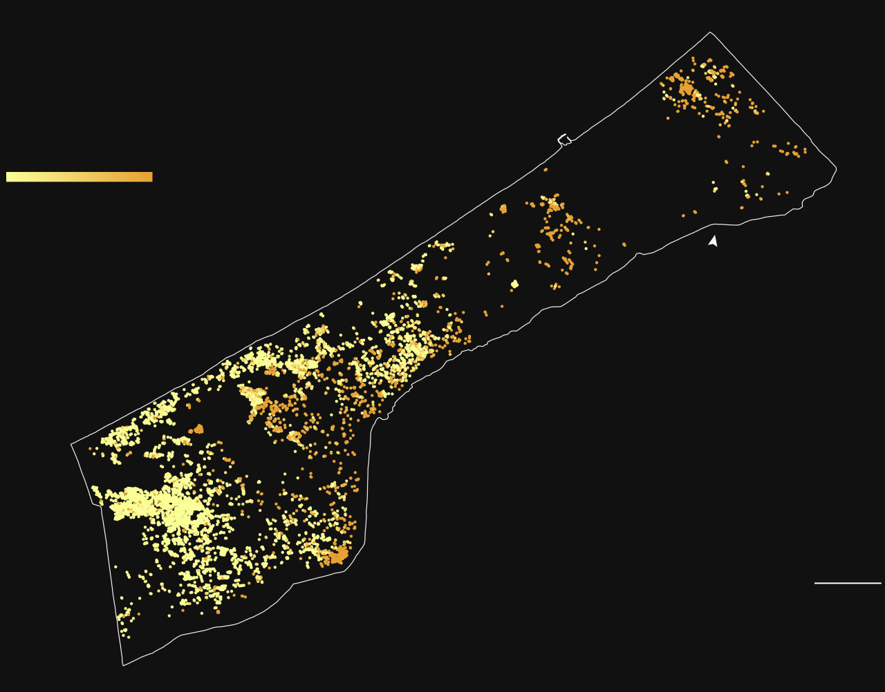
He Yin, a satellite imagery analyst and assistant professor at Kent State University, found that close to half of the Strip’s olive and fruit trees were damaged or destroyed as of April 3. In north Gaza, he said, the losses could be as high as 71 percent. He used machine learning — a type of artificial intelligence that identifies visual patterns in data — to detect damage to tree crops and greenhouses across satellite imagery.
Damaged tree crops
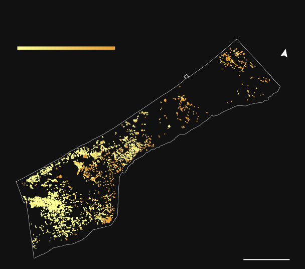
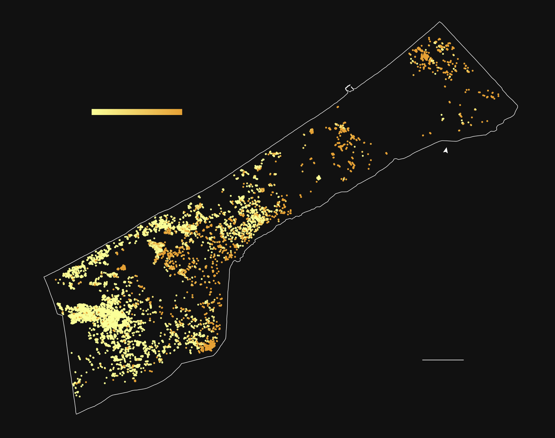
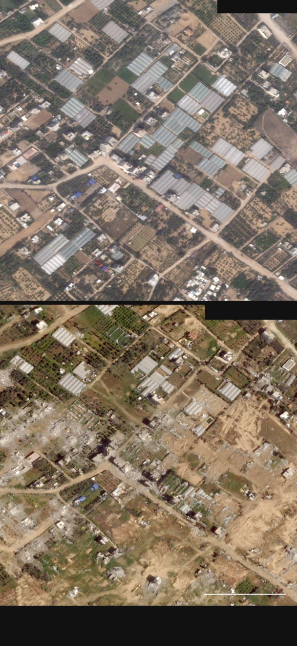
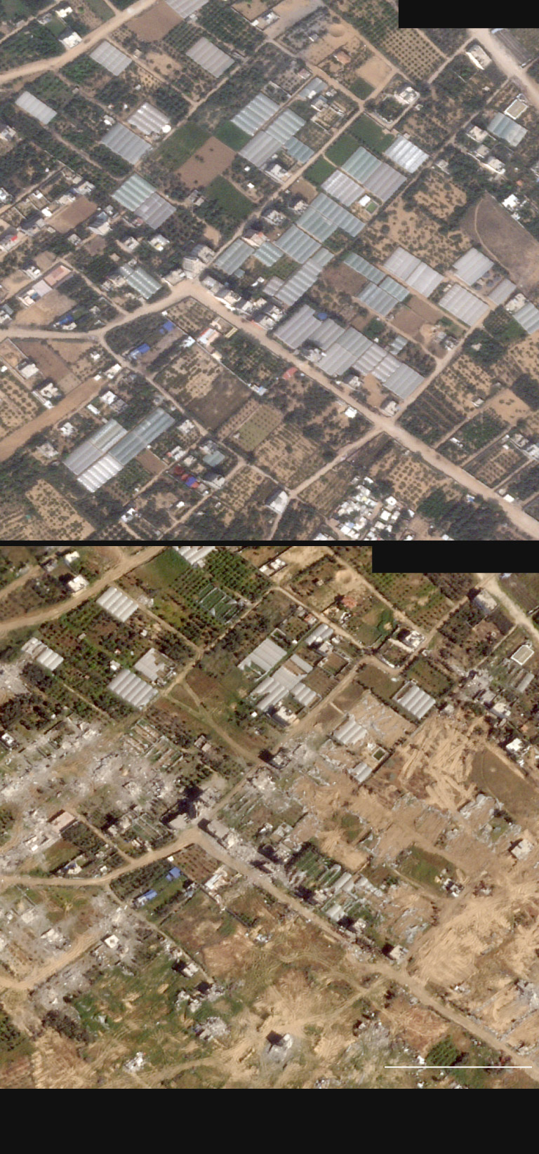
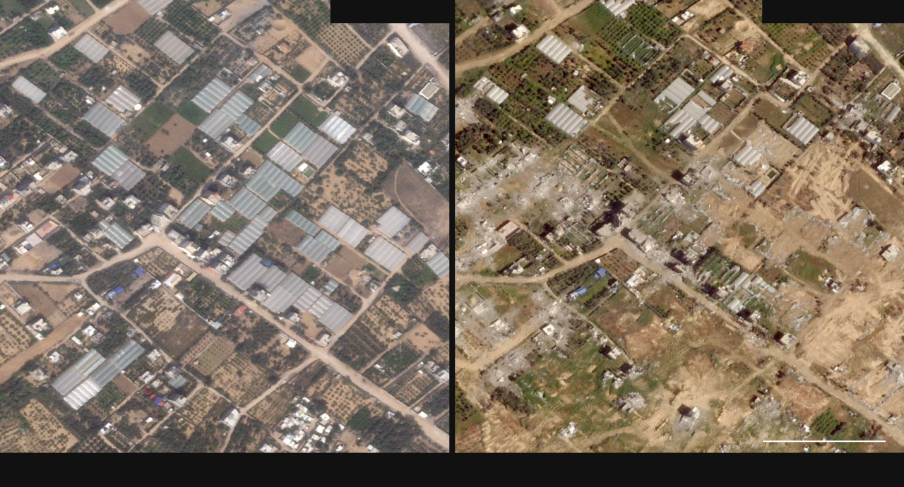
Yin found that nearly a quarter of the enclave’s 7,000 greenhouses have been destroyed; 42 percent were damaged and are likely to be unusable.
Damage to greenhouses
Damage to greenhouses south of Gaza city
Gazans — historically dependent on assistance from UNRWA, the U.N. agency for Palestinian refugees — now rely even more on the limited aid allowed in. Many forage for edible plants and some, according to the United Nations, have been reduced to eating grass and animal feed. In northern Gaza, residents told The Post they had been surviving on khoubiza, a leafy green that grows naturally in the winter. But when spring came, this source of sustenance disappeared.

Maximo Torero, chief economist at the U.N. Food and Agriculture Organization, said the level of food insecurity is at a critical stage.
“This is completely man-made,” he said. “And there are thousands of lives, and potentially hundreds of thousands of lives, that are now at risk.”
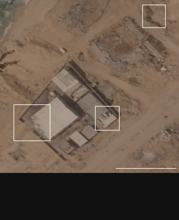
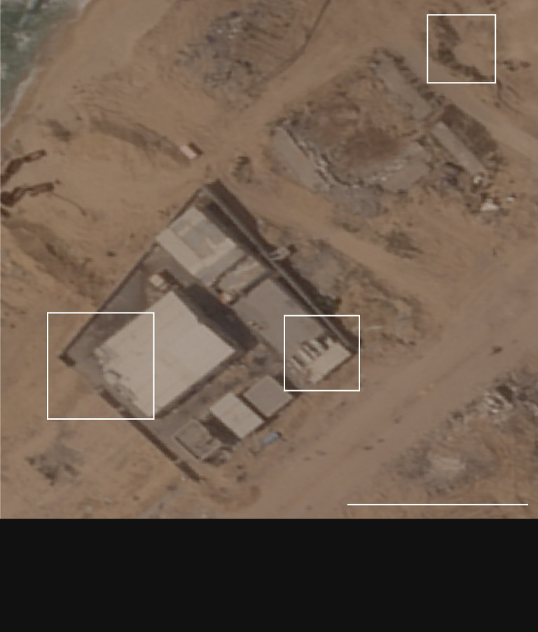
Compounding the war’s impact, parts of Gaza have lost much of their water supply infrastructure. According to Torero, 50 percent is unusable in northern Gaza, 54 percent in central Gaza, 50 percent in Khan Younis and 33 percent in Rafah. In addition, according to the U.N. Office for the Coordination of Humanitarian Affairs, only two of the three desalination plants are partially functional, and many Gazans are surviving on brackish water.
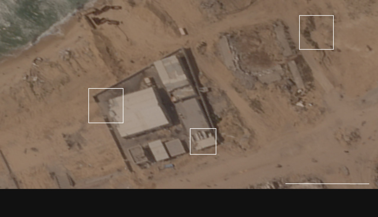
Damage to desalination
Undoing all this damage could take decades.
Georgina McAllister, an assistant professor at Coventry University in England, noted the unprecedented road ahead to rebuilding in Gaza.
“In 30 years of working as a specialist in food and farming systems under conflict, I have never dealt with this level of devastation and precarity.”
Methodology
To assess the extent of damage to Gaza’s food infrastructure, The Post reviewed photo and video evidence, analyzed satellite imagery and spoke with experts.
He Yin, a satellite imagery analyst and assistant professor at Kent State University, identified impact to tree crops and greenhouses with a machine-learning program to locate and assess damage visible in satellite imagery.
Yin manually checked 1,200 randomly distributed samples in high-resolution satellite images from Planet Labs; he estimates a confidence rate of 95 percent. To understand the levels of damage to agricultural land across Gaza, The Post mapped data from the U.N. Satellite Center (UNOSAT), which was acquired by performing a normalized difference vegetation index (NDVI) analysis on satellite imagery from April 24 of this year and comparing this against imagery from April in the preceding seven years.
Satellite imagery included in this story was provided by Planet Labs.
About this story
Design and development by Talia Trackim. Additional development by Frank Hulley-Jones. Editing by Reem Akkad, Leila Barghouty and Elyse Samuels. Design editing by Junne Alcantara. Photo editing by Olivier Laurent.

