
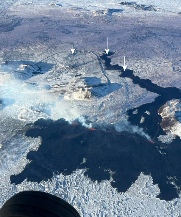
Hot water pipeline
cut by lava
Aerial image source:
Iceland Civil Protection
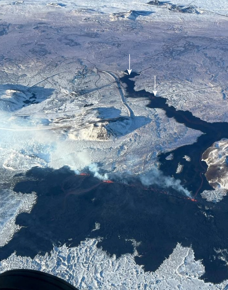
Hot water pipeline
cut by lava
Aerial image source:
Iceland Civil Protection
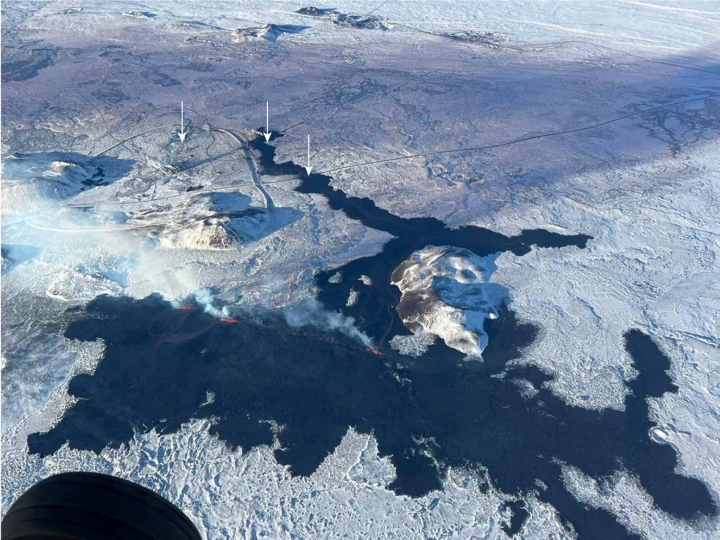
Hot water pipeline cut by lava
Aerial image source:
Iceland Civil Protection
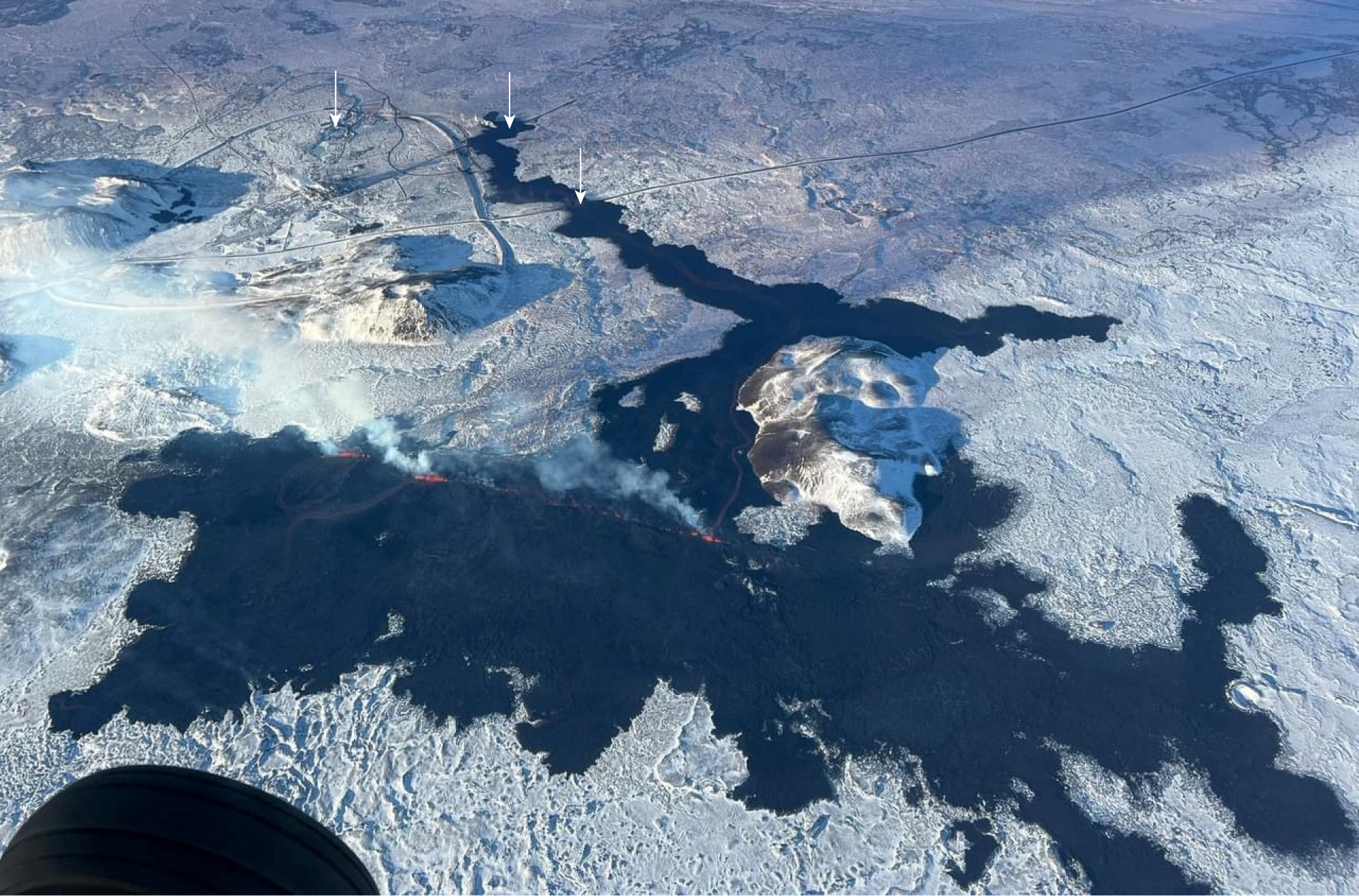
Hot water pipeline cut by lava
Aerial image source: Iceland Civil Protection
The pattern of eruptions in this area began in 2021, with a new eruption once a year located in a relatively isolated area. However, in November signs of a new eruption were pointing to areas situated farther west and much closer to the fishing village of Grindavík and other important infrastructure, including a power plant and the Blue Lagoon, a popular tourist spa. The government began to build defensive walls in the area to protect these assets.
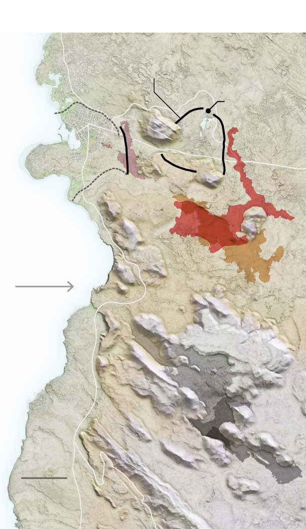
Defensive walls begin to be built
in November/December 2023.
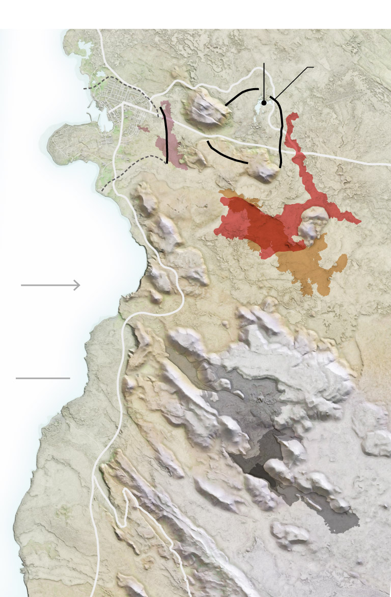
Defensive
walls begin
to be built
in Nov./Dec.
2023
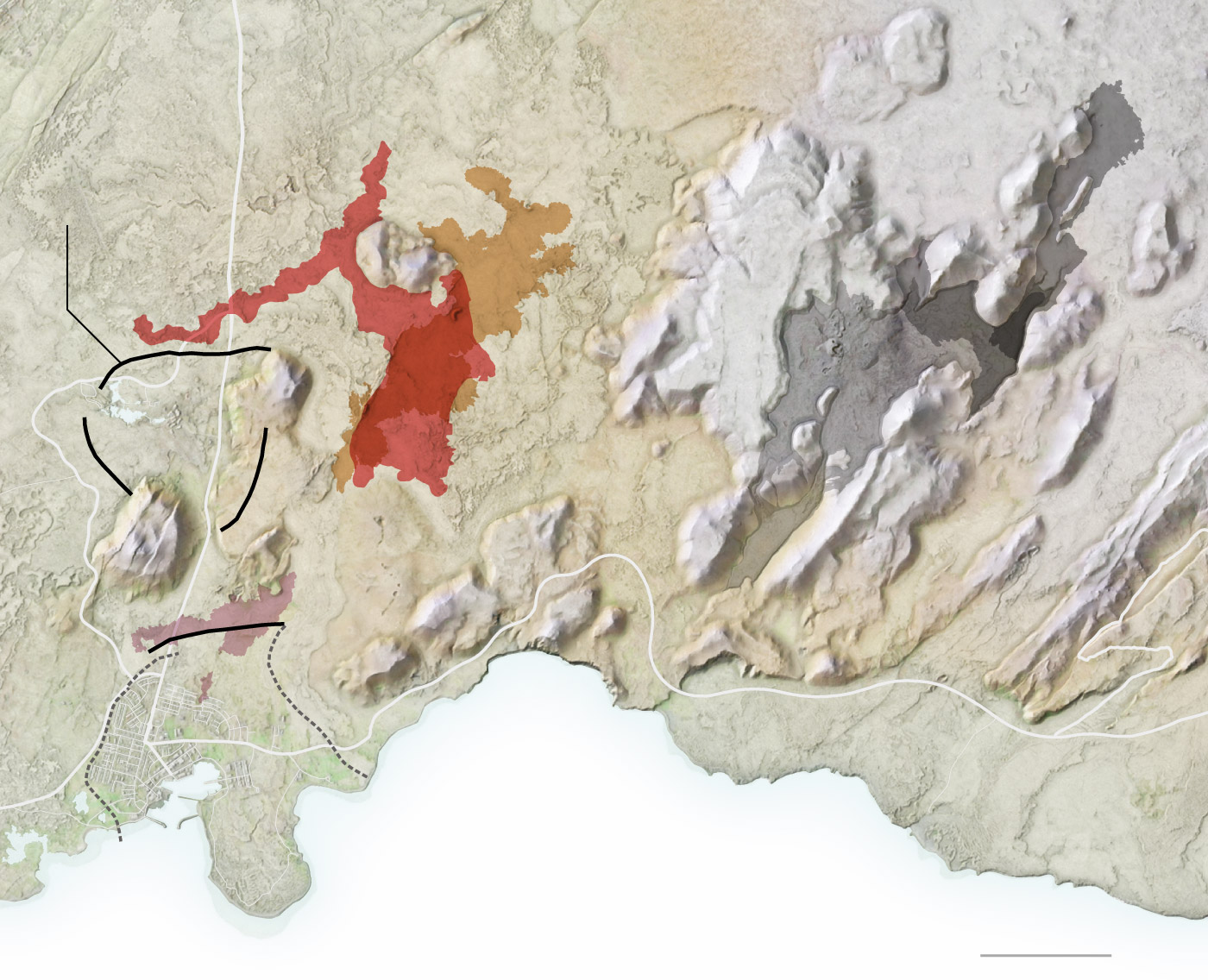
Defensive walls
begin to be built
Nov./Dec. 2023
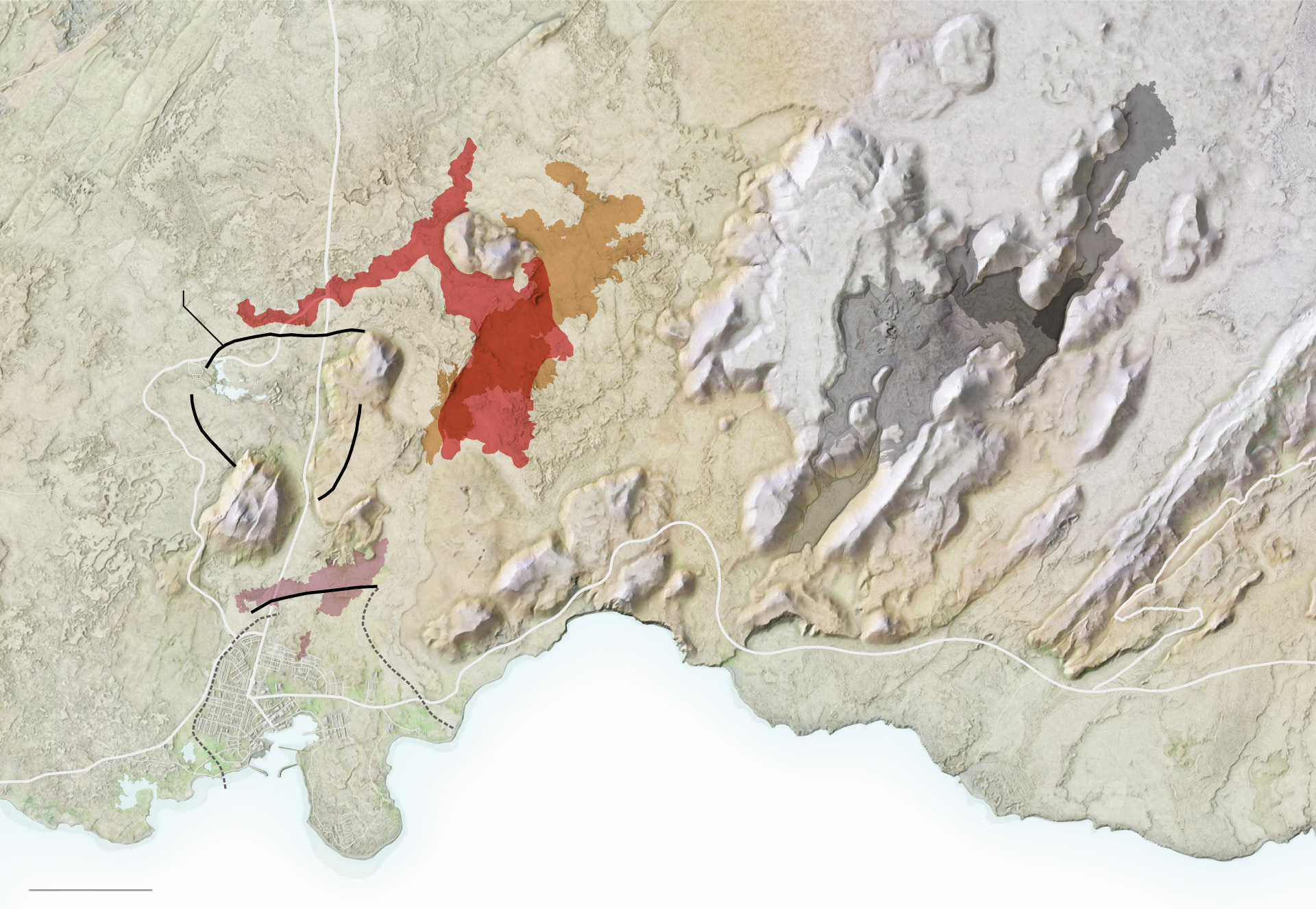
Defensive walls
begin to be built
Nov./Dec. 2023
Beginning on Dec. 18, eruptions have occurred with more frequency, and residents of Grindavík have been forced to leave. The future of the town itself is very much up in the air, as cracks have surfaced making the current conditions uninhabitable. Below is an aerial image on Jan. 14 showing how the wall barrier was, for the most part, able to deflect the lava flow from the town, although a fissure did form beyond the barrier and destroyed three homes. Plans are being drawn up to have future barrier walls built much closer to the town’s homes.
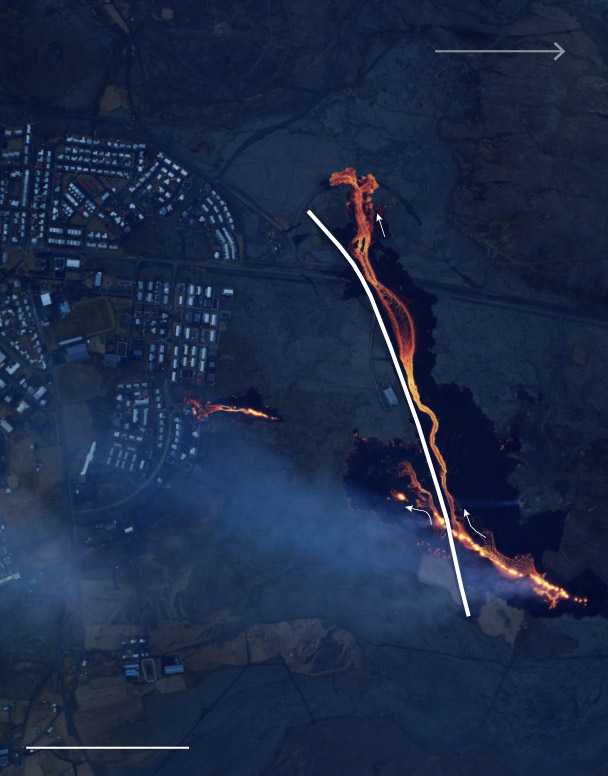
A smaller fissure
formed beyond the
wall barrier and
destroyed
three houses
Lava was able
to breach
the barrier
here
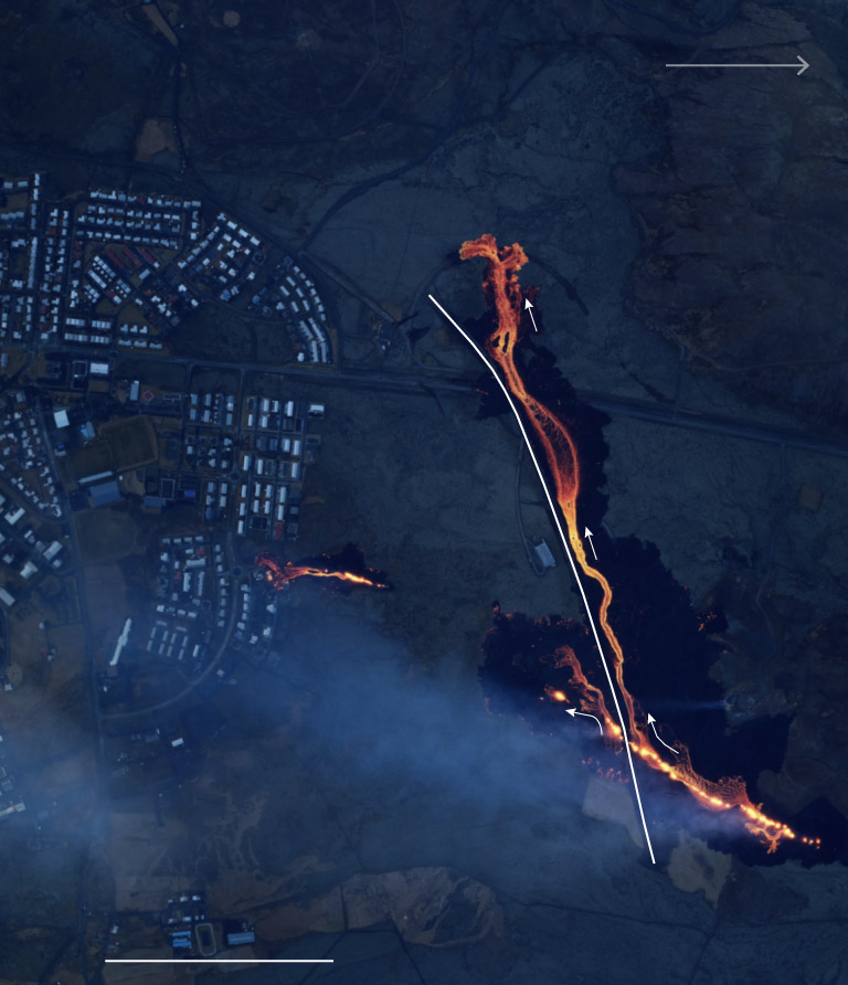
A smaller fissure
formed beyond
the wall barrier and
destroyed
three houses
Lava was
able to breach
the barrier here
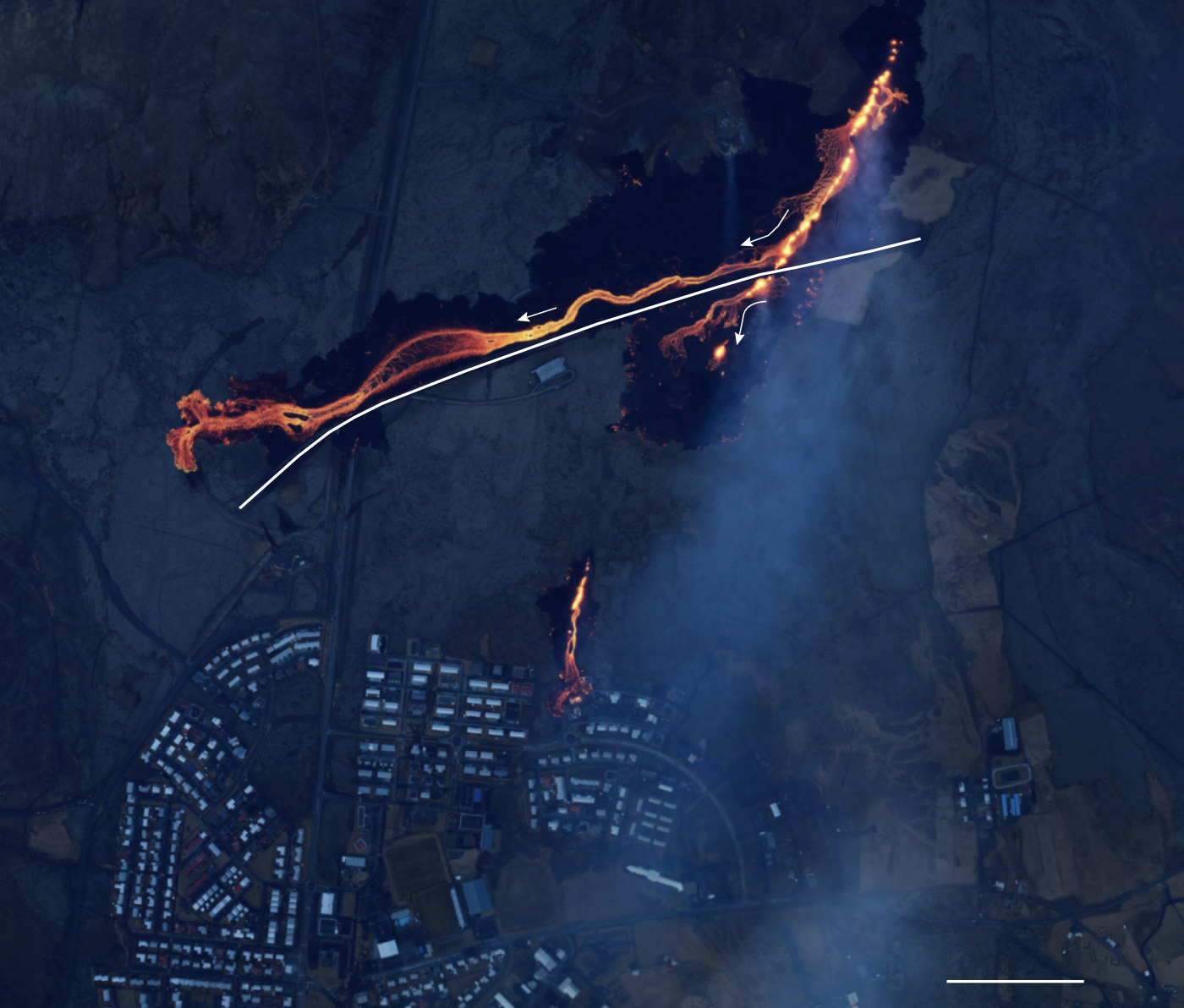
Lava was able to
breach the barrier here
A smaller fissure formed beyond the wall
barrier and destroyed three houses
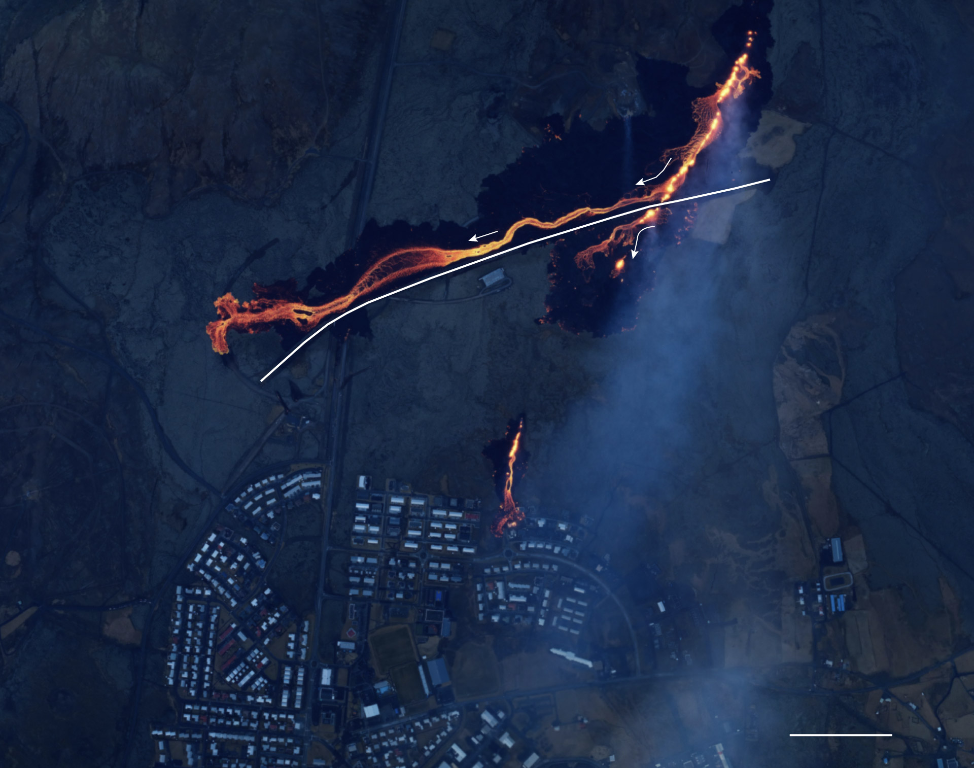
Lava was able to
breach the barrier here
A smaller fissure formed beyond the wall
barrier and destroyed three houses
Sources: Iceland GeoSurvey, National Land Survey of Iceland, cartographic data via Ragnar Heiðar Þrastarson from the Icelandic Met Office, the Institute of Earth Sciences at the University of Iceland, the Icelandic Institute of Natural History and Statistics Iceland.


